Concepts /
DynamicGlobes /
Can we design
the ultimate interface?
Concepts /
DynamicGlobes /
Can we design
the ultimate interface?
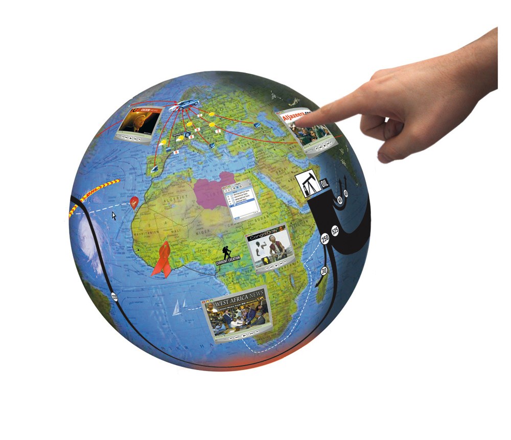
This project proposes a globe that receives input from society and displays this information on its surface at specific coordinates.
(scroll down for more info)

01

02

03

04

05

07

08

09

10

11

12

13

14

15


06


The globe can display background information on purchased products:
where the different parts / materials come from, where they got assembled, etc.
The exact position of your DHL postorder package can be displayed
A hot air balloon icon, in an attempt to go around the world is displayed according to its exact GPS coordinates.
Sattelite pictures display cloudformations or hurricanes.
both historical as contemporary versions of political, demographical and economical maps
can be displayed on demand
Sailboat icons are displayed according to their current position in their race around the world.
Travelling relatives or friends can be located through a signal sent by their mobile phones.
On special memorial days, small references to this day or indications
on how it’s remembered / celebrated in differerent parts of the world, appear on the globe
News bulletins, documentaries and other infographical videos can be screened
within their geographical context
Converted sattelite images mark and display polluted areas
The globe can function as a geographical visualiser of theories described in books
Diagrams can be shown as 3d attachments to newsbulletins or documentaries
Diagrams can be displayed in their geographical context,
The globe can display the different timezones and indicate nightfall by fading to black.
Sattelite images, displayed on the globe, show the world at night
Examples of dynamic content
1.
2.
3.
4.
5.
6.
7.
8.
9.
10.
11.
12.
13.
14.
15.
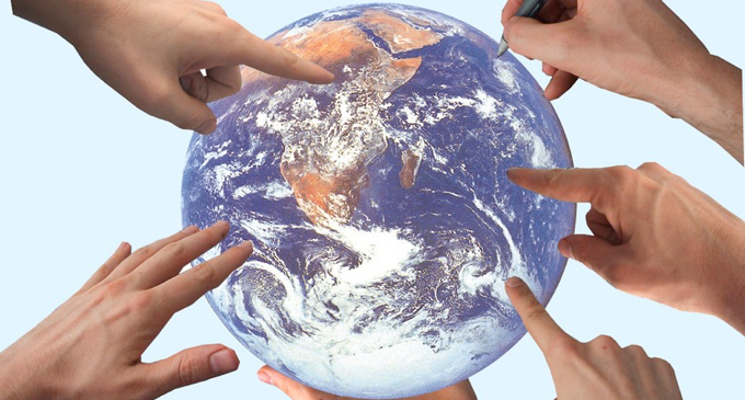
Globes of today show a snapshot of reality, globes of tomorrow can provide us with a digital representation of our planet as an ever evolving organism. Displaying information in its geographical context can give us, the inhabitants of this planet, a better insight and general overview on how things evolved, are evolving and will evolve in the future.
By using the globe as a navigation tool the user will get familiar to its overall appearence, the shape of its continents, the location of its countries, capitals, global urban centers and widespread deserts.
By linking events to their geographical position it will become easier for people to see the bigger picture, to understand how things are connected and maybe to predict what will come next.
Living in a global village demands a certain insight and understanding from its citizens. This tool can help providing this.

Credits
Concept & graphics
Brussels - 2005
Thomas Lommée


